
SURF:

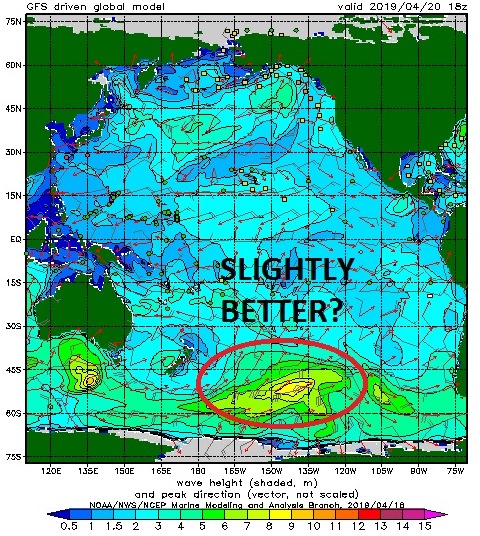
Had a slight uptick in the SW yesterday for chest high surf in northern SD and shoulder high sets in the OC. Along with some NW windswell there was some fun waves, minus the strong afternoon sea breeze. For Friday and Saturday, it's a carbon copy. Expect chest high sets from the SW (slightly bigger in the OC) and a touch of NW windswell to cross things up. On late Saturday, another dry cold front will move through to the N of us and kick up gusty winds like we've been having off and on the past two weeks.

The NW windswell will pick up to the head high range Sunday morning but it will be disorganized. All in all some clean fun small surf Friday/Saturday and larger jumbled surf on Sunday.
As far as water temps go, if the wind stops blowing, the water temps will be in the low 60's. If the NW wind blows, it drops to the high 50's. So enjoy it today before it drops on Sunday/Monday.

And tides this weekend are:
- 0' at sunrise
- -5' around 11 AM
- 1' late afternoon
- 6:15 AM sunrise
- 7:21 PM sunset
FORECAST:
The NW windswell backs off on Monday for chest high surf along with some background SW.

Tuesday looks small then another weak SW starts to arrive late in the day on Wednesday for more chest high surf on Thursday in the far N county SD and the OC.
That's replaced by a better shoulder high SW next weekend. All in all, no big surf on the horizon but fun SW later next week. Make sure to keep track of the waves and weather Twitter/North County Surf.
WEATHER:

Been a repeat around here when it comes to waves and weather. Small SW swells being crossed up by small NW windswell- which has been generated by all these spring time dry cold fronts. For the next week- it's Groundhog Day! For Friday we have great beach weather and temps in the mid-70's. On Saturday, the next dry cold front moves down the California coast and we get a return of the low clouds/fog. Late Saturday looks to be breezy (and maybe some sprinkles) and Sunday should be cool as the front exits the region. For Monday through mid-week, high pressure builds again, and take a wild guess... sunny skies and temps in the mid-70's!
BEST BET:
Tomorrow with nice weather and combo surf or the 2nd half of next week with better SW swells and great weather again.
NEWS OF THE WEEK:

As you’ve probably read here the past 6 months or so, the big El Nino of ‘17/’18 was to linger in a weakened state into ‘18/’19. While locally we didn’t have above normal water temps this winter nor did we have particularly large surf, we did have above average rainfall. So 1 out of 3 isn’t bad. The good news is that the forecasters at the National Oceanic and Atmospheric Administration are predicting the slight El Nino will last into this summer and maybe beyond. I’ll let NOAA explain:

The Great ‘Puny’ El Niño of 2018–19 continued through March, and forecasters predict it will likely remain through the summer and possibly continue into the fall. The tropical Pacific Ocean shows El Niño’s fingerprint clearly, with warmer-than-average sea surface temperatures stretching across the equator.
The El Niño atmospheric response was also apparent in March, with continued greater-than-average cloudiness and rain near the International Date Line. This is the weakened Walker Circulation pattern, due to more rising air than average over the central Pacific as the warmth of the ocean is transferred to the air above. Both the regular-flavor Southern Oscillation Index and the Equatorial Southern Oscillation Index were negative during March (-0.3 and -1.2, respectively), showing this continued atmospheric response.
We are also interested in the near-surface wind patterns, another critical component of the Walker Circulation, because these winds are how the atmosphere communicates with the ocean. The trade winds normally blow relatively steadily from east to west along the equator, keeping warm water piled up near Indonesia. When they are weaker than average, the ocean surface can warm, and the pile of warm water can begin to slosh to the east. During March, the trades were weakened, but this pattern was confined to a fairly small area of the western Pacific. (Remember this for a bit later when I get into the forecast.)
El Niño’s signature warmer-than-average sea surface temperatures were solidly evident in March, with a monthly average of 0.9°C above average from ERSSTv5, our longest observation dataset. The January–March 3-month average from ERSSTv5, what we call the Oceanic Niño Index, was 0.8, marking the fifth consecutive, overlapping 3-month period above the El Niño threshold (0.5°C above average).

Late fall 2018 was noticeably flat, without the gradual increase, peak, and decline that so many other El Niño events have exhibited. This flatness isn’t unusual behavior for a weak El Niño, however, as other events, including 1977–78, 1978–79, and 2004–05, show.
What is unusual is the model forecast for continued weak El Niño through the summer, with the tropical Pacific sea surface temperature expected to stay a bit above the El Niño threshold. This is a pattern that we haven’t seen in the (admittedly short) 1950–present historical record.
Also, forecasters think there’s about a 50-55% probability that El Niño will continue into the fall. As we’ve discussed before, the spring predictability barrier means it’s difficult for climate models to make successful predictions during March, April, and May, a time of year when ENSO (El Niño/Southern Oscillation, the entire El Niño and La Niña system) events are usually decaying and changing phase. This springtime indecisiveness partially explains the moderate probabilities that forecasters estimate for El Niño continuing into the fall.

The amount of warmer-than-average water between the surface and about 300 meters below the surface was elevated during March, as a downwelling Kelvin wave continued to move eastward under the surface of the equatorial Pacific. As this blob of warm water gradually rises, it will provide a source of warm water to the surface, helping to keep temperatures elevated through the next few months, and helping support the forecast through the spring and summer.
The subsurface temperature in March, as well as the near-surface winds (see above), have some correspondence to ENSO conditions in the subsequent fall/winter, but not a super strong relationship as there has been a pretty wide range of outcomes in the historical record. So while these conditions are factored in to the forecast for the later part of the year, they’re not a huge source of confidence. Plus, the wind anomalies in the western Pacific are pretty darn feeble, which does not elicit comparisons with the evolution leading up to the major 2015-16 El Niño.
Since El Nino interacts with the Eastern Pacific hurricane season (i.e. the hurricanes between Baja and Hawaii) it will interesting to see how the forecast for a continued weak El Niño affects the Climate Prediction Center’s hurricane outlook, issued later next month. For now, I’m guessing we’ll get a couple extra hurricanes this summer, slightly stronger than normal, and slightly above average water temps. Any complaints?
PIC OF THE WEEK:

Wonder why they call it the impact zone? The definition of impact is "the action of one object coming forcibly into contact with another". In this case the lip of the wave into your head as you try to duck dive this behemoth. Ouch.
Keep Surfing,
Michael W. Glenn
Bro
Reunited And It Feels So Good
Opening a Tavarua Themed Casino In Vegas Complete With Restaraunts & Cloudbreak Wavepools