
The Jova Jinx.
SURF:
Let's just throw everything out there- including the kitchen sink- and let's break the 'Jova Jinx':
Jova is a small but solid hurricane, we'll see fun surf this weekend, water is warm, and we'll have great weather! There, I said it. Turn on the ol' Emergency Boardriding System while you're at it. It's been a mediocre summer to say the least, so we deserve some good news- jinx or not.
Jova is a small but solid hurricane, we'll see fun surf this weekend, water is warm, and we'll have great weather! There, I said it. Turn on the ol' Emergency Boardriding System while you're at it. It's been a mediocre summer to say the least, so we deserve some good news- jinx or not.

On that note, Hurricane Jova formed yesterday off Mainland Mexico and steadily built into a major hurricane. Jova now sits in our swell window with peak winds this morning of 155 mph and a good- but not great- track towards the WNW. To start off the weekend, we'll have small background SW swell for inconsistent chest high sets in far N County SD and the OC on Friday. The Jova swell shows on Saturday for the OC (head high+) and some chest high sets in SD later in the day. For Sunday morning, Jova really kicks in with head high sets in N County SD and overhead sets in the OC. . Well have water temps in the high 60's and sunny skies- so clear your schedule. And here are the tides, sun, and water temps for this weekend:
- Sunrise and sunset this weekend:
- 6:29 AM sunrise
- 7:02 PM sunset
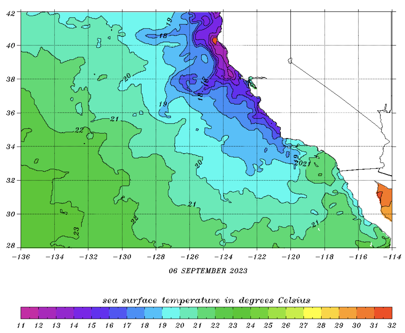
- Water temps:
- Slight WNW winds all week have dropped our water temps to the high 60's. The mild heat wave this weekend may help bring it back up to 70 again.

- And tides for the weekend:
- 3' at sunrise
- 4' at breakfast
- down to 3' after lunch
- and up to 5' before sunset
FORECAST:
The start of the work/school still looks fun as we'll still have good Jova swell in the water.

Once Jova winds down on Tuesday, we have fun SW swell on it's heels for mid-week. Look for chest high swell just about everywhere.

Forecast charts also show a small early season storm in the Aleutians next week which could give SD some chest high NW by Wednesday.

AND... after that, models show a good storm taking shape this weekend which would give us head high+ sets from the SW toward the 18th. Nice of summer to show up 3 days before fall. If anything changes between now and then, make sure to follow North County Surf on Twitter.
WEATHER:

I love it when a plan comes together (A-Team reference for those of you over 50). We've got great weather on tap this weekend- and hurricane swell to boot. Look for high 70's and sunshine along the coast from Friday through Monday. A weak trough moves by to the N mid-week so we cool off slightly but we'll still have afternoon sun and mild temps. Here's a quick rundown on the week ahead:
- Friday through Monday: Plenty of sun and temps in the high 70's at the beaches with a peak on Sunday. Low temps will be high 60's.
- Tuesday and beyond: High pressure weakens with night/morning low clouds and temps 72/65.
BEST BET:
Saturday though Monday with Jova swell, sunny skies, and comfortable water temps. Think it will be crowded?
NEWS OF THE WEEK:

Tropical Storm Hilary was an interesting experiment for us in Southern California. Since tropical storms and hurricanes don't typical move through our area, there wasn't a lot of history to predict Hilary's effects. Would we get the large amounts of rain forecasted? (Yep). Would the winds be as fierce as predicted? (Depended on where you were). Would there be a lot of storm damage? (Flooding, yes. Roofs torn off, nope). Luckily we were spared the worst of it. But with a warming ocean and atmosphere, should we expect more tropical storms in Southern California? San Diego's CBS channel 8 asked the scientists at the National Oceanic and Atmospheric Administration to shed some light on the subject:
On the heels of Tropical Storm Hilary arriving, many Southern Californians are left wondering whether climate change could make hurricanes and tropical storms more common in the area.
The rain that Hilary brought was enough to break records for the most amount of rain recorded in the month of August in a few local cities. It was more rain than the city of San Diego had seen in a single day in more than 6 years. Palm Springs saw nearly their total annual rainfall in just 48 hours. So could climate change and global warming increase the likelihood of these storms making landfall?

Research scientists and the National Oceanic and Atmospheric Administration agree: No, climate change is not likely to increase the frequency of tropical cyclones making landfall in San Diego or anywhere in the world for that matter. But, it could increase the intensity of cyclones that develop, leading to more destruction when they do arrive.
In other words, the number of storms making landfall isn’t expected to increase – in fact, some models show the number of cyclones actually dropping slightly. But the intensity of rain and wind within the lifetime of a cyclone could rise by about 5 percent in the 21st century. Beyond that, rising sea levels increase the likelihood of life-threatening storm surge, especially across coastal communities in the United States.
A couple other factors that could lead to more intensity and severity are the speed the storms move at and increased urbanization.

There is also some evidence to suggest that cyclone movement is slowing down. This can particularly increase devastation when storms essentially stall over cities, drenching them in one place and inducing flash flooding, rather than the fast speeds that other storms move through with. But, there’s still more research that needs to be done on whether this change is caused by humans.
One factor that is definitely caused by humans- Urbanization. Cities are growing in size, especially along coastal communities. That means more pavement that isn’t able to soak in rain, making urban areas more susceptible to flash flooding. Beyond that, researchers have also shown urban heat islands around downtown areas tend to increase thunderstorm intensity, meaning not only could future storms bring more rain, but that rain could be left with nowhere to go.
Here in San Diego, that means the frequency of tropical storms or hurricanes arriving wouldn’t necessarily increase. But when they do, whether that's every century or more, they could become increasingly devastating for our communities.
PIC OF THE WEEK:

If you're not a pro surfing nerd like myself, you may not know the world's top 5 surfers are headed to Lowers this weekend for the World Surf League championship. And if you did know, you're probably hoping Hurricane Jova delivers and we'll see some of this. Looks like Sunday me be the day; if you care.
Keep Surfing,
Michael W. Glenn
Racking Up Style Points
THIS Is The Year The Chargers Win It All
I Surf With A Small Ladder To Help Me With Foam Climbs
Michael W. Glenn
Racking Up Style Points
THIS Is The Year The Chargers Win It All
I Surf With A Small Ladder To Help Me With Foam Climbs