
Best. Year. EVER.
SURF:

Of course I'm being facetious considering February through October was pretty horrible around here, but 2023 has been bookended by large swells in January and firing surf in November/December. Today was no different as we had more WNW wind/groundswell for head high+ surf most everywhere. For Friday, we get leftovers but still fun head high sets in the AM as well as the start of a Santa Ana wind event. The surf drops further on Saturday for chest high sets- and still offshore conditions. By Sunday, the NE winds back off but the weather will continue to shine and the surf drops to the waist high+ range. And here are the tides, sun, and water temps for this weekend:
- Sunrise and sunset:
- 6:40 AM sunrise
- 4:43 PM sunset

- Water temps are 63 +/- but should drop next week once the Santa Ana winds kick in this weekend.

- Tides are starting to expand again this weekend and get real extreme again later next week. In the meantime here's what we have for the upcoming weekend:
- 5' at sunrise
- down to 0.5' after lunch
- and up to 3' at sunset
FORECAST:
Still nothing big on the horizon as high pressure is in control- but we will have surf.

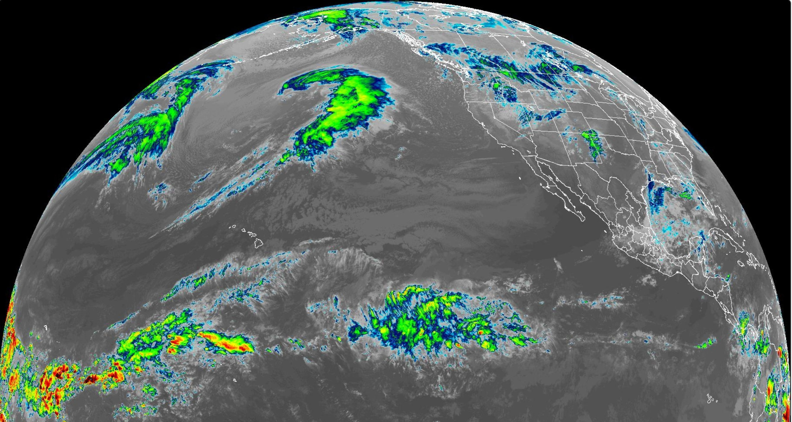
A small but good storm developing in the north Pacific today will send chest high NW swell for late Monday into Tuesday.

Not much surf for Wednesday/Thursday but more chest high NW (and bigger towards SD) will arrive for next weekend. If anything changes between now and then, make sure to follow North County Surf on Twitter.
WEATHER:
A cold front moved by the N of us today (good news for you Sierra/Rockies powder hounds) and in its wake is high pressure behind us for Santa Ana winds this weekend. Here's what we have on tap for at least the next 7 days:
- Friday: Sunny, cool, and breezy offshore winds. Temps 65/50
- Saturday: Ditto but a touch warmer and a touch stronger winds- temps 70/50.
- Sunday through at least next weekend? Sunny and temps high 60's/50.
BEST BET:
- Friday with fun WNW and offshore winds. Get on it early!
- Tuesday with a new smaller NW and good conditions.
- Next weekend with more fun NW and good conditions.
NEWS OF THE WEEK:

Great weather around here, eh? So much for that El Nino. Not so fast- as mentioned during last week's THE Surf Report, El Nino is in full swing across the Pacific and if we're to get above average rainfall this winter, we'll most likely see it during the January to March timeframe. So until then, enjoy our great weather. But we do need the rain though- so how are we looking so far? Glad you asked, our rainy 'season' technically runs through October 1st to September 30th, so we've basically just started. Here's our rain totals so far:
- Los Angeles: 0.13" so far. Only 8% of normal. Last year at this time, L.A. had 2.26"!
- Newport Beach: 0.53" so far. Only 32% of normal- and last year they had 1.71" at this point.
- Oceanside: Has received the lion's shar so far with 1.61" and is at 93% of normal. Last year they had 1.84".
- San Diego: 0.62" so far and is 40% of normal. Last year at this time they had 1.17".
As you can see, most locations are running about 1/2"-1" behind the pace. All it will take is one average storm later this month to get us to 100% so it's not time to start panicking. And if the El Nino really kicks in- we should see 15" or more this winter if we have any luck. Now's the time to get that leaky roof fixed...
PIC OF THE WEEK:

The Golden State has been golden lately. Just ask this guy who has the line-up all to himself at some undisclosed Nor-Cal beachbreak. Ok- who's kidding- I'm pretty sure you can guess where this is.
Keep Surfing,
Michael W. Glenn
Earnest
Cuddly As A Cactus, Charming As An Eel
Banned From The Surf Ranch Pro For Playing Marco Polo During The Finals
Michael W. Glenn
Earnest
Cuddly As A Cactus, Charming As An Eel
Banned From The Surf Ranch Pro For Playing Marco Polo During The Finals