Right on track.
SURF:
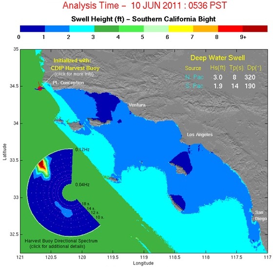
Seems like everything is finally on track in our little surf world- fun spring time southwest swell, some minor northwest windswell to peak it up, low clouds and fog typical of June, and water temps hovering in the low 60’s. Seems almost too predictable. Today we have just a trace of our southwest swell from Tuesday and leftover north west windswell for mainly waist high+ waves.

For Saturday the southwest drops even further but winds off Point Conception and our outer waters kick up a little more northwest windswell tonight so waves will bump up to the waist to chest high range. Sunday looks to be the same. Nothing exciting this weekend but it will be small and rideable. With the near shore winds now coming from the southwest, we’re starting to see a bump up in our water temps finally. Buoy readings in SD are showing 62-64. Tides the next few days are almost 4’ at sunrise, 1’ at lunch, 6’ at dinner, and down to 4’ at sunset. Make sure to keep up to date on the waves and weather at Twitter/North County Surf.
FORECAST:
We start off the work week slow with just leftover NW windswell and background SW but we see another fun SW swell show up Wednesday. Models also show more NW windswell showing mid-week too. Hopefully the combo will give us overhead sets. That should last through Friday morning.
WEATHER:

While Arizona is inundated with wildfires, the mid-west is getting hammered with tornadoes, and the east coast is sweltering in a heat wave, out here in So-Cal we have…. June Gloom. That continues probably through Tuesday. Models start to show high pressure filling into our east which will battle the low clouds and fog at our coast. Looks like the second half of next week the sun should win and we’ll get a little more sun towards the afternoons.
BEST BET:
Once that new SW groundswell shows, more NW windswell builds, and the sun finally comes out, I’m clearing my schedule for next Wednesday.
NEWS OF THE WEEK:

We’ve got our first tropical storm of the season! And we named our baby Adrian. Wednesday an area of clouds organized off mainland Mex and started to drift WNW out over the warm Pacific in typical storm fashion. He intensified rapidly and winds this morning are around 140mph. Impressive but not in our swell window unfortunately. Cabo on the other hand should get some good surf by tomorrow. Adrian will continue to drift WNW the next few days into cooler hurricane killing waters. And just as he just creeps into our swell window, he’ll deteriorate rapidly. Seriously- the day he gets in our swell window- winds from the storm will be about 50mph. Not enough to make surf for us all the way up here. Even though NOAA’s summer hurricane prediction for us is dismal, I’m hoping the early start with Adrian proves them wrong this summer…
BEST OF THE BLOG:
Smorgasbord. Old school videos of Dorian, Ross, Kelly, Taylor, and Rob. Mid-week surf checks. Deals from Etnies. And the Surfing Madonna artist unmasked. After reading the blog you’ll need an Alka Seltzer. See how much your stomach can muster at the blog below!
PIC OF THE WEEK:

I don’t know if you’ve seen some of the horrific photos from Puerto a few weeks ago but basically it was 30’ bombing beachbreak down there. Not my cup of tea. Nothing like spending over an hour trying to paddle out with no channel and then air-dropping into some bottomless pit and taking 10 more waves to the head. Nope. Not cool. I like playful Puerto instead- a few feet overhead, tropical breezes, a pair of trunks, and cold Pacifico’s waiting for me on the beach. Dick Messeroll from ESM has captured it perfectly here. Click here to see more of Mez’s work.
Keep Surfing,
Michael W. Glenn
Hallowed
Oil Minister
Inventor of the Bottom Turn