
Better late than never.
SURF:

Ever hear the joke: "What job can you be wrong at all the time and NOT get fired?" Answer: "Weatherman!" All the forecast models were showing no rain until at least mid-month and then BAM! Total about face and we have rain coming this weekend. I'm sending my resume to the Weather Channel. But before I get ahead of myself, let's talk about a last ditch effort to get surf this weekend before the winds kick in, the surf gets out of control, and the water is filthy.


FORECAST:

If you liked Sunday's waves and weather, you're going to LOVE Monday's. We've got a solid storm hitting our coast in the AM and the swell to go with it. Look for 12'+ storm surf and 15'+ in SD- along with 40 mph winds and dumping rain. That swell peaks early Tuesday and drops like a rock.


WEATHER:

As mentioned above, we are finally getting some rain after February was one of the driest on record with less than 0.10" most everywhere in southern California. Tomorrow is a transition day as the storm gathers itself offshore. Look for mostly cloudy skies and manageable winds. Saturday morning starts the same and we should see showers from a weak cold front that night. Sunday is pretty messy with rainy windy conditions. Monday is when the real fun starts and the bulk of the storm moves through. We'll have wind gusts of 40 mph (which isn't that bad considering a few weeks ago it was 60 mph) and moderate to heavy rain. Once it exits the region by Tuesday, we'll have around 1" of rain at the coast and about 1' of snow in the local mountains. Mid-week should be cool and dry as weak high pressure establishes itself. Models then show another storm aimed at us for next weekend but it hasn't even formed yet so make sure to keep up to date on the conditions at Twttier/North County Surf.
BEST BET:
Between dodging storms, looks like tomorrow afternoon will be a good bet (you were planning to leave work early anyway, weren't you)? Or Wednesday with clean conditions and a combo NW/SW.
NEWS OF THE WEEK:
Every few years I do a refresher course about tides. Since we’ve had some pretty high tides lately due to a variety of factors (check out the story from December here), I thought I’d go into some detail.

The highest tides in the world can be found in Canada at the Bay of Fundy, which separates New Brunswick from Nova Scotia. At some times of the year the difference between high and low tide in the bay is over 53 feet or basically the size of the Eddie contest this year. The highest tides in the United States can be found near Anchorage, Alaska, with tidal ranges up to 40 feet. And what’s the biggest tidal range we have here in north county San Diego? We have it coming up this May and December; over 9 feet. Not exactly 40 feet or even 53 feet; but still amazing to think that if you were standing on the shore at dead low tide, a 6’ person would be 3’ under water at high tide. That’s a lot of water moving.

One interesting place to watch the tides in motion is our own Ponto Beach in Carlsbad. As the tide comes in, the ocean pushes against the coastline and the water rises. But in the case of Ponto, the tide finds a ‘break’ in the coastline in the form of the lagoon entrance at the jetties. The force of the ocean pushing against the coastline surges into the lagoon. It’s like a mini tsunami. I was surfing out there a few years ago on a low tide going to high. I caught a wave and surfed in-between the jetties. The force was so strong that I couldn’t paddle back out to the ocean and was actually getting sucked under the highway and into the lagoon. I finally gave up, floated into the calm lagoon with the ducks, then ran back across the highway into the ocean. On the flipside, I’ve surfed on a high tide going low in front of the jetties. The current coming out of the lagoon acted like a rip tide and I was sucked out to sea. On a big day of surf, the natural rip tides work in conjunction with the current coming out of the lagoon and the double rip tide is an absolute monster. Makes for some good sandbars though.
Tidal highs and lows depend on a lot of different factors. The shape and geometry of a coastline play a major role, as do the locations of the Sun and Moon. Storm systems at sea and on land also shift large quantities of water around and affect the tides. Detailed forecasts are available for high and low tides in all sea ports, but are specific to local conditions.
That many of the areas of the world with high ranges of tides are in the areas of Alaska, Canada, and northern Europe has created a misconception that the range of tide increases with increasing latitude (as one moves farther from the equator and closer to the poles). This is incorrect. Increased tidal ranges in these areas are created by the positions and configurations of the continents in the northern hemisphere. In the higher latitudes of the northern hemisphere, the continents of North America, Europe, and Asia are pressed closer together. This “constriction” of the oceans creates the effect of a higher range of tides.
In the higher latitudes of the southern hemisphere, in the southern tips of South America, southern Africa, Australia, and Antarctica, tidal ranges are not increased. In these areas the continents are not pressed closely together, there is not a “constriction” of the oceans, and the tidal ranges are not increased.

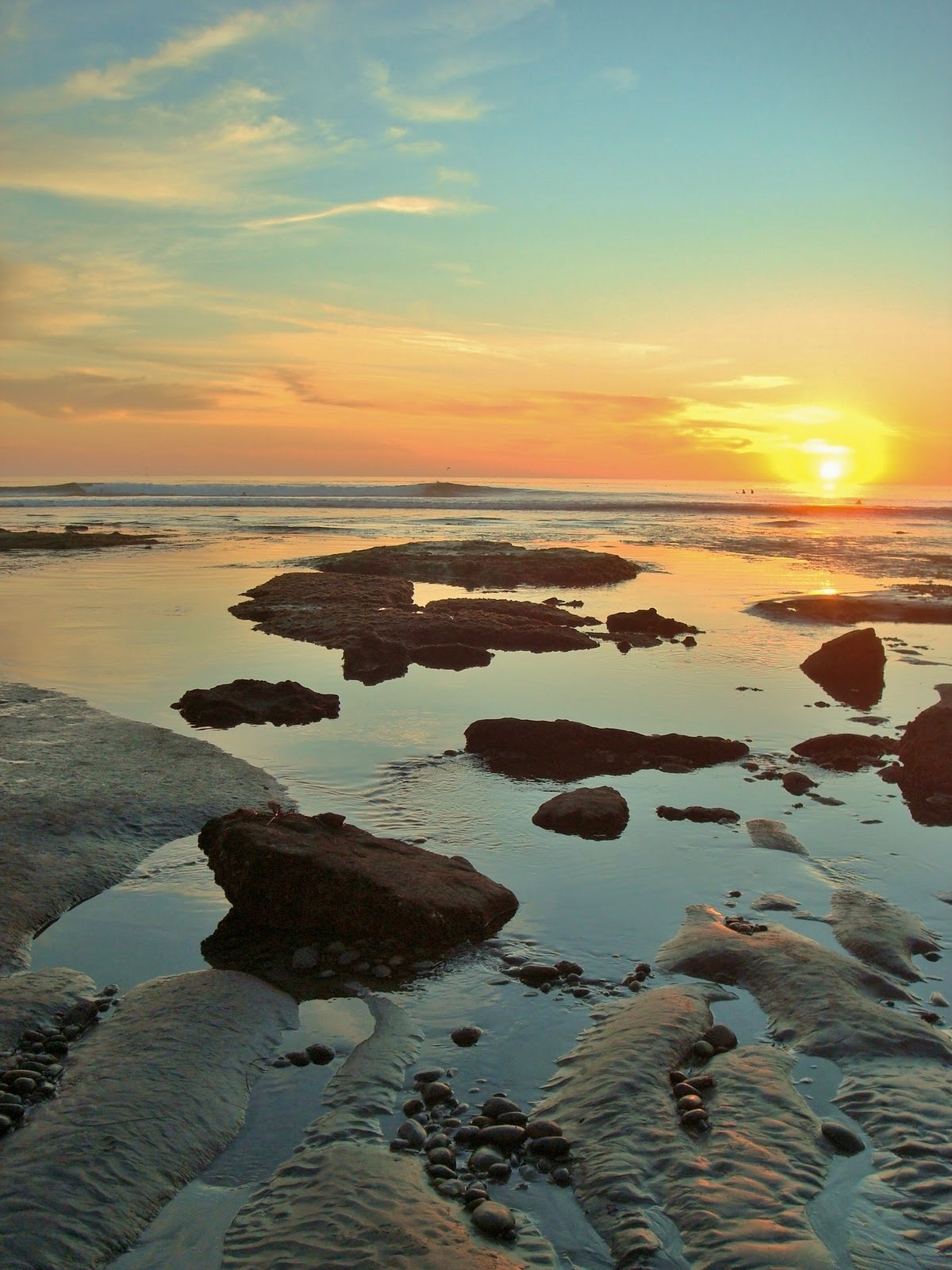
And if you can't make it to the Bay of Fundy or Alaska to see the extreme tides, just head to the tide pools of Swamis for a mellow afternoon.
PIC OF THE WEEK:

This grainy surf shot is like that photo of the Loch Ness monster from the 1930's. Or better yet- the Zapruder film. No no wait! The film of Bigfoot walking in the woods! Anyway, where was I going with this. Oh- I know; the photo reminds me of a random shot you run across from some seedy character in a back alley who tells you of great treasures just over the hill. Is it real? Does it exist? Will I spend my dying days travelling the world trying to find it? Maybe. Would be kind of nice to put a house up on the hill there and have a few overhead rights and lefts to yourself...
Keep Surfing,
Michael W. Glenn
The Cat's Meow
Was Abducted By Aliens. Really.
World's Only Barefoot Skier AND Barefoot Surfer