Boy is it going to be crowded this weekend.
SURF:
As you’ve probably heard by now, we have new long period SW swell showing up on our shores. About time.
This past week (make that the past 6 weeks) have been downright awful. Fortunately for us, luck is in our side this weekend.
New SW swell started to hit our buoys this afternoon. Couple spots in far N county saw chest high sets tonight and it will continue to build through tomorrow and peak on Sunday with head high sets and overhead waves in far N county SD and the OC.
We also have small waist to chest high NW filling in late Friday and late Saturday to help peak up the more dominant SW lines. Along with our good weather and warm water, it’s shaping up to be a good weekend for waves. Thank you Neptune, King of the Sea. Water temps are high 60’s and beware the tides this weekend! They’re all over the place.
Look for a 3’ tide at sunrise, up to 6’ mid-morning, down to 0’ late afternoon and up slightly to 1’ at sunset.
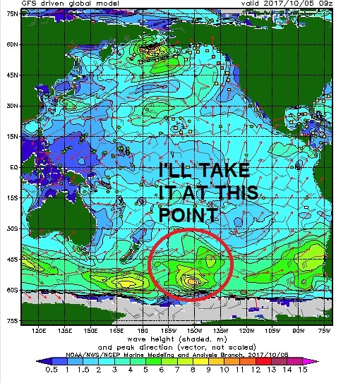
FORECAST:
Leftover NW/SW hangs around on Monday for chest hight+ waves then another smaller but still fun SW arrives on our shores Tuesday the 10th. The southern hemisphere takes a breather after that and models show another NW maybe arriving towards next weekend. Models earlier this week showed a solid hurricane forming off Baja but have since backed off that Fake News so we’ll have to take what we can get this weekend. If anything changes between now and then, keep up to date on the waves and weather at
Twitter/North County Surf.
WEATHER:
Right on cue- the good surf coincides with a weak Santa Ana condition tomorrow and Saturday. Then a small front moves by to our N for a couple low clouds Sunday/Monday. Once that moves through, stronger high pressure sets up behind it for a slightly stronger Santa Ana event the 2nd half of next week. Look for sunny skies, light offshores, and temps in the 80’s at the beaches. Good time to call in sick.
BEST BET:
Late tomorrow and Saturday with good weather and combo swell. Sunday/Monday should be fun too but the weather won’t be as nice…
NEWS OF THE WEEK:
I was hoping we’d have one last crack at a hurricane swell next week but alas it wasn’t meant to be. Even though the ‘official’ hurricane season doesn’t end until November 30th, without the help of an El Nino this summer/fall, we’re pretty much done. So how’d we do? In May of this year, the National Oceanic and Atmospheric Administration (NOAA) released its annual forecast, predicting a 80% chance of a near- to above-average season in both the Eastern and Central Pacific basins, with a total of 14–20 named storms, 6–11 hurricanes, and 3–7 major hurricanes. How did that stack up?

Well, we had 16 named storms, 9 hurricanes, and 4 major hurricanes. Pretty average- especially when compared to our previous El Nino years of ’16 and ‘15. Heck- we only had 2 storms with winds over 125 mph (Fernanda and Kenneth)- and they both went due W away from us! Thanks for nuthin’! If you read the September 21st THE Surf Report (http://northcountysurf.blogspot.com/2017/09/the-surf-report-early-edition_21.html), you would have seen that El Nino made a hasty exit this summer and the ‘cold’ La Nina had returned, effectively squashing any major hurricane swells for late summer and our upcoming fall.
As mentioned above though, the season doesn’t officially end until late November, but by that time, the water will have cooled off considerably and we’re thinking about Mavericks by then instead of Monuments. So don’t hold your breath for any chubascos giving us surf the rest of the year.
PIC OF THE WEEK:
This is potentially what the surf could look like this weekend. Head high, sunny skies, and light offshores. Minus the 150 people in the line up of course. Hope you have a secret spot to paddle out to!
Keep Surfing,
Michael W. Glenn
Knighted
Snubbed By The Rock & Roll Hall Of Fame
Did An Air Reverse Kick Flip In The Barrel