
SURF:

Now that was one heck of a fun week. Weather was phenomenal, surf was darn fun, and the water started to warm up (slightly). Hope you got some. For tomorrow and Saturday, we've got a continuation of the SW swell in the chest high range (better towards the OC) and the weather changes SLIGHTLY. Nothing to be alarmed at- just a return of the low clouds/fog in the nights/mornings. And air temps a manageable 70. No complaints.

For Sunday, we have a new SW fill in for more shoulder high surf (better towards the OC again) so it should be fun this weekend. And here's the tides, sun, and water temps:
- Sunrise and sunset:
- 6:34 AM sunrise (paddle out at 6 AM?)
- 7:10 PM sunset (paddle in at 7:30 PM)?

- Due to the heat wave, water temps are 60-62! BUT... will probably get back to the high 50's next week (more on that in the WEATHER section below)
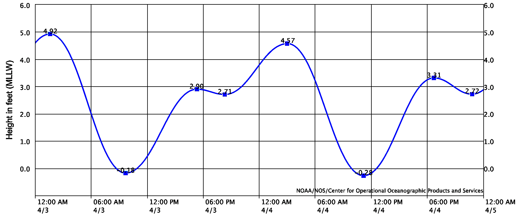
- And the tides this weekend are minor:
- 2' at sunrise
- -0.1' mid-morning
- 3' at sunset
FORECAST:
We get to a more spring like pattern next week with weak troughs moving by to the N of us, more night/morning low clouds/fog, a little more of a sea breeze, and cooler air temps. That's the bad news. Good news? More surf coming! The SW that filled in on Sunday peaks on Monday for shoulder high sets in SD and head high+ at best OC spots.

Also, due to the cold fronts up N next week, they'll be sending us more NW windswell starting late Monday into Tuesday. That should make the SW swell peaky for most spots.

After that, the SW/NW backs off the 2nd half of next week but we have more chest high NW windswell filling in next weekend.

Further out, models show storms off Antarctica coming to life and we should see more shoulder high SW around mid-month. No complaints!
WEATHER:

Pretty epic week with warm temps, minimal winds, and a few tropical clouds floating overhead. Always interesting those storms that come down from the Aleutians this time of year but don't move inland through CA- but rather parallel to our coast. As they do, they pick up tropical moisture and we get 'Xmas in July'- or rather tropical looking clouds in April that we normally don't see until August. Things get back to normal this weekend though- and most of next week- with night/morning low clouds/fog, and temps around 70 once the sun comes out mid-day. And with the return of cooler temps and the NW sea breeze- expect our water temps to drop a couple degrees. If anything changes between now and then, make sure to click on the button below and follow North County Surf on Twitter!
BEST BET:
Monday/Tuesday with combo swell. Or mid-month with more fun SW swell. I love Spring Break!
NEWS OF THE WEEK:

Can we all agree we're not going to see anymore significant rain this season (which runs October 1st to September 30th by the way). On average, if we're lucky, we'll see 3/4" of rain in April. But considering it's a La Nina year, we'll be lucky to see 1/4". So let's call it like it is: We're done. So where did we end up in this drier than normal rainy season?...
- Newport Beach: 4.39" so far (should be at 11.87"). That's just 37% of normal. And we're hoping to see 13.3" by the end of summer!
- Oceanside: 5.32" so far (should be at 11.85"). That's just 45% of normal! And we're hoping to see 13.66" by the end of summer!
- San Diego: 4.36" so far (should be at 9.21"). That's just 47% of normal! And we're hoping to see 10.34" by the end of summer!
Luckily for us, last winter we were around 100% of normal for most Southern CA locations. So we should be able to survive this summer with enough water in our reservoirs (don't go hosing down your driveway though). And the forecast next winter? Maybe a slight La Nina or average at best. Maybe it's time to let those lawns go brown again.
PIC OF THE WEEK:

J-bay comes to Portugal. Wonder when Jeffreys will visit us?
Keep Surfing,
Michael W. Glenn
Canny
How A Pirate Looks At 50
As A Kid I Believed Albert Kekai Or Wayne Bartholomew Was The Easter Bunny
Michael W. Glenn
Canny
How A Pirate Looks At 50
As A Kid I Believed Albert Kekai Or Wayne Bartholomew Was The Easter Bunny