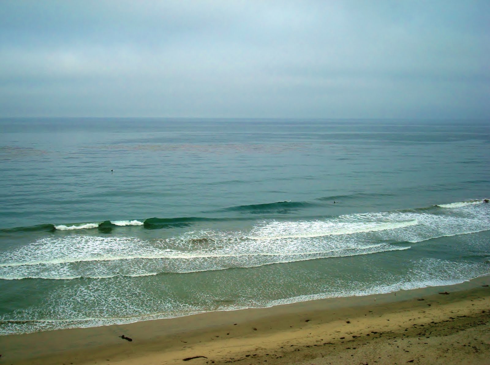
Actually have some fun little combo swell action today. We've got some peaking ex-hurricane Greg S swell along with some NW windswell. I love these extreme swells- the S is coming from 190 and the NW from 280 so it makes the wedges extra peaky. Both swells are only waist high but when they combine you'll find some chest high peaks in far north county SD and far south county OC.

Water is nice too, holding in the high 60's. Tides are also mellow today- about 3' at 8am going to 5' at 6pm. Wind is currenly light and variable.

Models show a slight bump in NW windswell towards Thursday and maybe some better SW towards Friday. Nothing big for both swells but it should put us back into chest high+ waves (south SD Thursday, the OC by Friday). Bad news is that the S should be gone tomorrow and we're only left with small NW for Wednesday. Good news is that summer weather gets back on track! Took a few weeks but it's finally pulling through.

High pressure is building over the Four Corners region and is expanding westward. The low clouds/fog should be confined to only the early mornings/late nights and temps at the beaches may hit 80. And our good friends in the Death Valley will hit 120+. Awesome. We also have some slight monsoonal (aka tropical) moisture coming in from the south the next few days and our humidity will increase slightly. Looks like Friday is the day to skip work- some fun little waves and some great weather. Not that I condone calling in sick or anything.

Further out on the horizon, the models are showing a solid storm forming in the southern hemisphere. It's moving a little east to west unfortunately but we still should get some overhead waves from it. Hopefully towards the end of the month if everything pulls together. We should also have a little NW windswell forming again as high pressure is forecasted to back off early next week and the winds in our outer waters will increase the low clouds/fog eddy circulation. And what's going on in the tropics you ask? Nothing. Not even some organized clouds or anything.y next week

I do though want to give a shout out to our east coast friends- be wary of Irene as she may hit category 4 status (135mph winds) before hitting land- potentially the Carolina's in a few days. Get some surf while you can then head out of town ASAP.