
We've got some small but rideable surf today with waist high+ SW being joined by some small knee high NW windswell. When the swells combine, you'll find some chest high sets at best combo spots- mainly towards the OC.

The weather isn't cooperating though as the low clouds are hugging the coast until late afternoon and even then it's not 100% sunny. The air temp though is a pleasant 75 degrees and the water is warming up slightly- hallelujah- to 67 degrees. Winds are currently blowing SW at 10mph. Tides are also medium most of the day.

All in all it's not the best surf or beach day today but you can get a couple turns in on a fatter board if you're dying to get out there. Good news is that we have a little more SW showing up tomorrow and it should last through Friday. Nothing big but best spots in far north SD and the OC should have some shoulder high sets. Weather charts are also showing the clouds breaking up earlier at the beaches towards the weekend so Friday might have some waves AND sunny weather. AND the water may hit 70 again. Keep your fingers crossed!
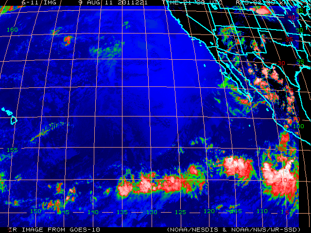
As far as the tropics go, it's a little quiet down there. Bunch of clouds floating off the coast of central America but nothing is expected to organize the next few days. Maybe we'll be in luck next week.
If anything changes, make sure to keep up to date on the waves/weather at Twitter/North County Surf!