Had some fun NW/SW combo the last few days with head high sets in far north SD county and the OC. The weather hasn't been the greatest- typical of June with the low clouds having a hard time burning off at the beaches- but the water has been a pleasant 67 degrees.
Today we have lingering SW with a tiny NW underneath for inconsistent chest high sets- and a couple better waves towards the OC. The low clouds should burn off hopefully by mid-day and we may hit a high of 70 in the air temp department.
Tides are pretty mellow for the most part- just 2' in the mornings, about 1' mid-day, and up to 5' at dinner. Wind will be mainly under 10mph from the WSW today.
As far as our weather goes, look for more June Gloom conditions with only partial afternoon clearing at best in the afternoons. Air temps will remain in the high 60's through this weekend and more SW winds are expected. It's technically not summer yet so I shouldn't complain but May sure had better weather and I was at least giving June a fighting chance of being nice. Hopefully we'll get some better weather next week- which is just about the start of summer anyway on the 21st.
On the surf forecast side, our next real source of swell is a weak low pressure system moving down the coast tomorrow and it will kick up our NW winds in the outer waters (again). It's been pretty redundant the past few weeks- no real SW to speak of and our main source of surf has been NW windswell. Better than nothing. Look for chest high surf out of the NW starting Wednesday afternoon and lasting at least through Saturday.
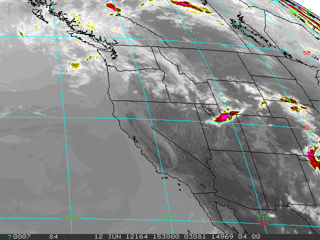
As far as the southern hemisphere goes, we've had lots of little pulses but no real organized storms down. It's resulted in less than stellar SW swells up here. We should have background waist high+ SW through the remainder of the week but it may not be noticeable due to new NW windswell showing up the 2nd half of the week. We may get another pulse from the SW around the 18th. And in the chart shown above, there looks to be a small but potent storm forming on Sunday which may give us head high sets around the 24th. Hopefully it stays together.
And tropics flared up in May but have been quiet since. Models show a little group of clouds off central America trying to get organized. If anything does develop, I wouldn't expect surf until a week out. Make sure to keep up to date on the waves and weather at
Twitter/North County Surf!