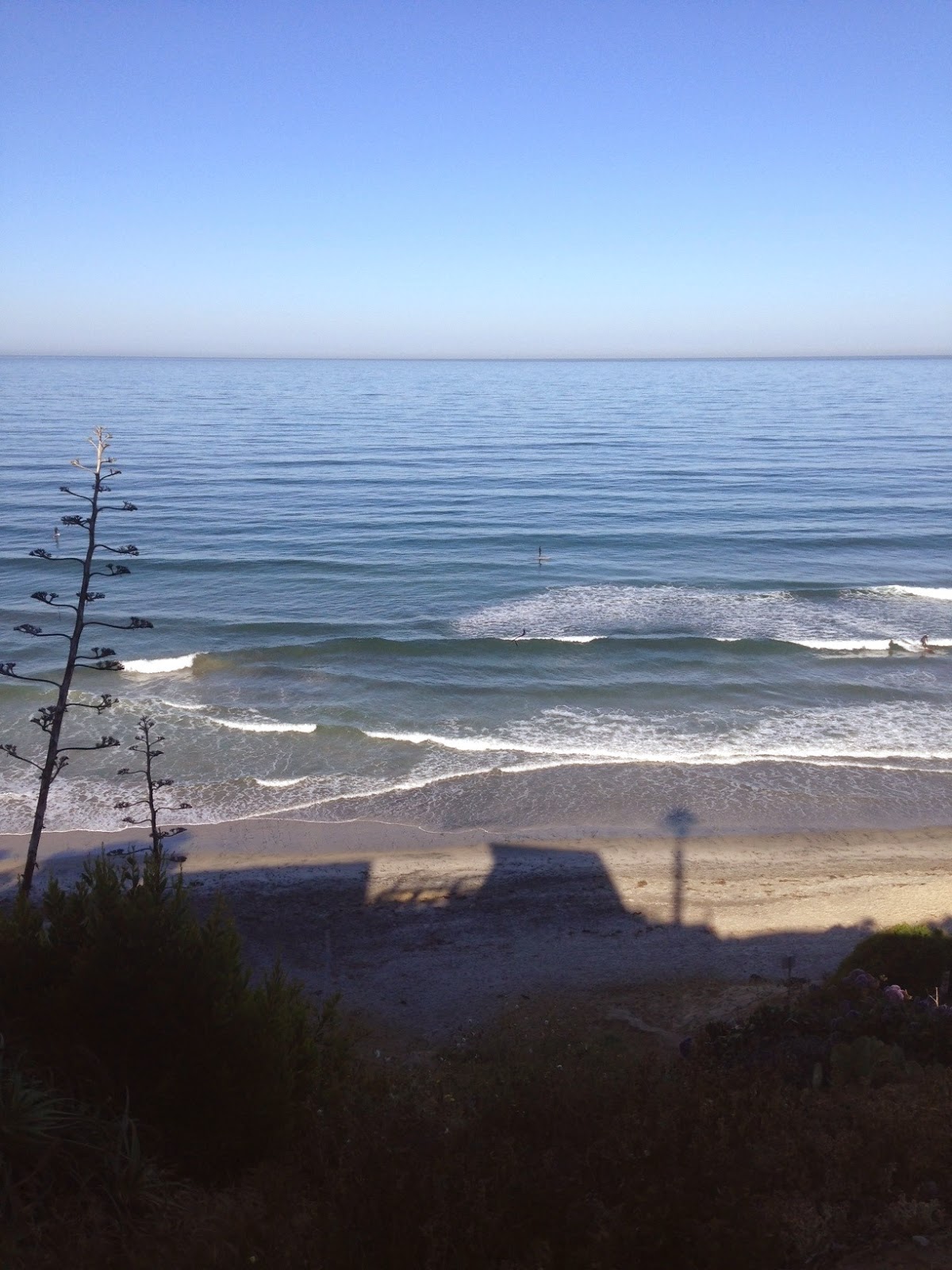

Beautiful day outside but not much to ride.

As the NW windswell drops today, the SW starts to fill in- but neither are that big with only waist high waves around town. Did I tell you the weather is fantastic though?! Water temps are hovering around 64 degrees- which is about 5 degrees warmer than normal due to the so-called El Nino. Of note, last year at this time, water temps were also unseasonably warm- 65 degrees- due to the so-called El Nino. What does all this mean? Well, we're only slightly off from last year- and last year was a banner year for water temps and hurricane production. By the end of May we were trunking it in 70 degree water AND we had our first hurricane Amanda. I'm keeping my fingers crossed for the same this summer.

Tides the next few days are 4' at sunrise, almost 0' after lunch, and back up to 4' at sunset.

Before we get to the forecast, let's talk about our weather. More 80 degree weather is on tap all week but we may see a return of the low clouds and fog at the coast late Thursday evening. The weekend cools a little more with night/morning low clouds/fog and temps back to the mid to low 70's at the coast. Models then hint at the jet stream taking aim at us towards Monday which may produce a few showers. Since we'll already be into May, don't count on much.


Now on to the important stuff. We had a little storm last week (that turned into a big storm- more on that below) send us a shot of fun SW that will start to build this afternoon. Look for chest high sets tomorrow in the far N part of the county and into OC. On it's heels is some NW windswell building later tomorrow and into Thursday. Both swells will make for some fun peaks around here by Thursday.


So that little storm turned into a big, err, gigantic storm and during it's peak had seas over 50'. Unfortunately it peaked SSE of us (not ideal for our swell window) but it was so big, we'll still get overhead S swell from it. Remember that big S swell at the beginning of March? Think that. Look for swell starting to build Sunday and peaking Monday. That will last into Tuesday. By Tuesday we also have a small NW filling in which may help break up the big S lines.

After that, the southern hemisphere takes a little breather mid-week, then a new slightly shadowed SW swell arrives next Friday into the weekend. Look for shoulder high waves from this one.

AND THEN... the southern hemisphere has another similar sized shoulder high SW on the forecast charts. So in a nutshell: The north Pacific is pretty quiet and the south Pacific is churning out bangers with a beast arriving late this weekend. Enjoy.