Had some fun surf today. The low clouds broke up early this morning and didn't come back until after sunset, the water was warm again (74), the wind wasn't too bad- W at 8 most of the day, and we had some due S swell for chest high surf around town and a few shoulder high waves the closer you got to the OC. There was even some small NW swell to break up the S lines.
For tomorrow the S swell will drop slightly but still give us inconsistent chest high sets. Look for the low clouds to be a little more persistent in the morning but should break up around 10am.
Tides are about 3' at sunrise, 4.5' mid-morning, down to 2' mid-afternoon, and up to 6' at sunset.
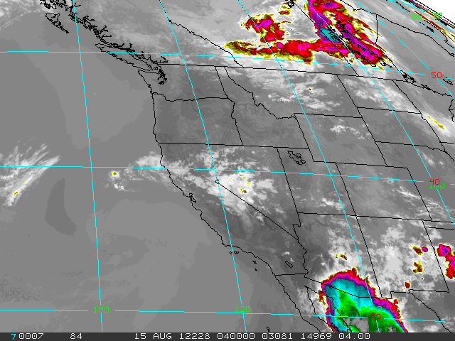
We have a weak front moving through northern California tomorrow which may kick up our low clouds in the morning a little bit more and drop our beach temps to under 80 finally, but it still should be a nice day. By late in the week, high pressure nudges it's way from Nevada (again) and we get a surge of 'tropical' monsoon moisture (again) for warmer temps and muggy conditions. If you liked last weekend, you'll love this weekend.

For the upcoming weekend, we had a storm about 7 days ago form directly under us that sent us a due S swell our way. We should see some shoulder high sets towards Thursday evening in far north county SD and overhead sets in the OC. That should last through the weekend. What's odd about this swell is that it formed in the same spot as last weekend's S swell- which was more focused on the OC- as usual for a SSE. And the weather was great last weekend too- which it should be this weekend. I swear this Surf Check is sponsored by Xerox. For the north Pacific and the tropics- they're pretty quiet so don't expect any surf from them in the next 3-5 days. No worries though- good weather and good surf from the S is on tap this weekend (again). Further out, looks like there's some more activity in the southern hemisphere directly S of us. Guess when that swell should show? Next weekend of course...