Hurricanes and heat waves and thunderstorms oh my!
SURF:
Amazing weather this week. August is right on schedule. We had temps in the mid-80's at the beaches, a lack of low clouds in the nights and mornings, and water temps hit a high of 74 at Torrey Pines yesterday. The surf was even kind of fun the closer you got to the OC.
Today we have leftover S swell and tiny NW swell for chest high sets in far north county SD and shoulder high sets in the OC. We actually get a boost from a S swell later today as well as some hurricane surf from Gilma. Of course S facing beaches will pick it up the best (i.e. the OC) so they'll get some head high+ waves this weekend. SD will have chest high sets- the bigger of course the closer you get to Camp Pendleton. The OC should be darn fun this weekend considering the good surf, great weather, and warm water. I bet no one will be at Lowers. Shhhh.
Tides the next few days are about 3' at sunrise, 5' before dinner, and maybe down to 4' at sunset. Not much change. Make sure to keep up to date on the waves and weather at
Twitter/North County Surf. FORECAST:
We've got a good storm forming due S of us today that should send some surf towards next weekend. It's sizeable but almost in the shadow of Central America at it's peak- so expect some fun surf in SD and head high+ sets in the OC next weekend- kind of like this weekend. Does that make sense?
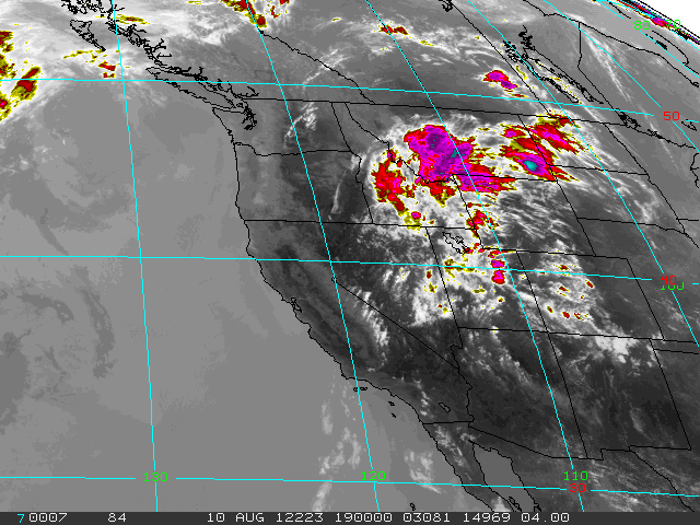
For the tropics, former Hurricane Ernesto in the Caribbean moved over the Yucatan Peninsula, started to fall apart, and has since re-emerged off mainland Mexico in the Pacific. What does all this mean? Ernesto looks to be reforming into a hurricane again which should give us surf maybe 5-7 days out again (just like Gilma this weekend- odd pattern with these hurricanes and southern hemisphere storms). For the north Pacific, we've had some background NW windswell earlier in the week and it's looking pretty quiet in the coming week. No worries as we have more than enough S swells headed our way- but they may be a little lined up due to the lack of combo swell from the NW.
WEATHER:
The heat wave is easing- sort of. Today look for temps around 80 at the beaches again and high 70's this weekend. The deserts will go from 118 to 113! What a relief. Look for low clouds to slightly make an increase towards the end of next week- nothing major but a little more than what we've seen lately. And of course a slight chance of thunderstorms in the mountains and deserts the next few days.
BEST BET:
Saturday looks to be the call- new S swells from the southern hemisphere and tropics, great weather, and water temps in the low- to gasp!- mid 70's.
NEWS OF THE WEEK:
By now you've probably heard the news that the July heat wave that wilted crops, shriveled rivers and fueled wildfires officially went into the books last week as the hottest single month on record for the continental United States. CNN reported this week that the average temperature across the Lower 48 was 77.6 degrees Fahrenheit, 3.3 degrees above the 20th-century average. The National Oceanic and Atmospheric Administration said that edged out the previous high mark, set in 1936, by two-tenths of a degree. In addition, the seven months of 2012 to date are the warmest of any year on record and were drier than average as well, NOAA said. U.S. forecasters started keeping records in 1895. And the past 12 months have been the warmest of any such period on record, topping a mark set between July 2011 and this past June. Every U.S. state except Washington experienced warmer-than-average temperatures, NOAA reported. The high temperatures have contributed to a "rapid expansion" of drought across the central United States, NOAA found. Dozens of cities and towns already have seen the mercury hit record levels this summer, and three states -- Nebraska, Kansas and Arkansas -- saw record dry conditions between May and July. That's battered American farmers' corn and soybean crops, driven farmers to sell or slaughter cattle they can't feed and spurred the U.S. Department of Agriculture to designate more than half of all U.S. counties as disaster zones. Hopefully this winter's pending El Nino will help cool things off- at least in the southern half of the U.S....
BEST OF THE BLOG:
Airs are starting to get a bad name with every kid on the block having a reverse in their repertoire. Even I can do a flip. Not really but everyone else can. So Kustom has come up with the 'Airstrike': 1 boat, 5 surfers, 4 webisodes, and $50k for the best air. Winner takes all. Check out John John, Albee, Chippa, etc. going for broke over shallow reef. Cool. And of course a mid-week Surf Check and an in depth THE Surf Report. All of that and more in the blog below!
PIC OF THE WEEK:
Time for a classic shot this week. Sure it's cold, crowded, and on the opposite side of the world, but it's still one of the world's best waves. Don't believe me? Gotta watch Curren vs. Occy then in Billabong's Surf Into Summer. Solid. For more great shots, check out
Australia's Surfing Life.
Keep Surfing,
Michael W. Glenn
Off The Charts
Hoping Curiosity Finds Surf on Mars
Taking Online Surf School Classes