
SURF:
Got a little bit of everything in a 7 day period- some NW swell, some SW swell, some cold fall weather, and warm temps this weekend. Place your bets! The current storm is exiting the region today and we've got great conditions on tap this weekend.


FORECAST:

After a fairly safe weekend around here, we've got some background SW the 1st part of the week for chest high surf in the OC and about waist high in north county SD. And the tropics aren't dead yet- we've got another group of clouds trying to organize off mainland Mex. If it can get it's act together, we'd have a storm this weekend and small S swell by the middle of next week.


WEATHER:

Our first storm of the season has come and gone and it gave us a dusting of snow, high temps in the low 60's, waterspouts, some rain, and the odd thunderstorm. Can't believe a couple weeks ago it was 90 around here. Now that the storm is exiting the region, high pressure builds in behind it and we have nice weather again on tap this weekend and temps in the mid-70's. That lasts for the foreseeable future.
BEST BET:
The only thing in the near future is the leftover NW/SW today and clearing conditions- or next Wednesday with good weather and fun NW. Basically it comes down to this- do you want to call in sick today or next Wednesday?
NEWS OF THE WEEK:
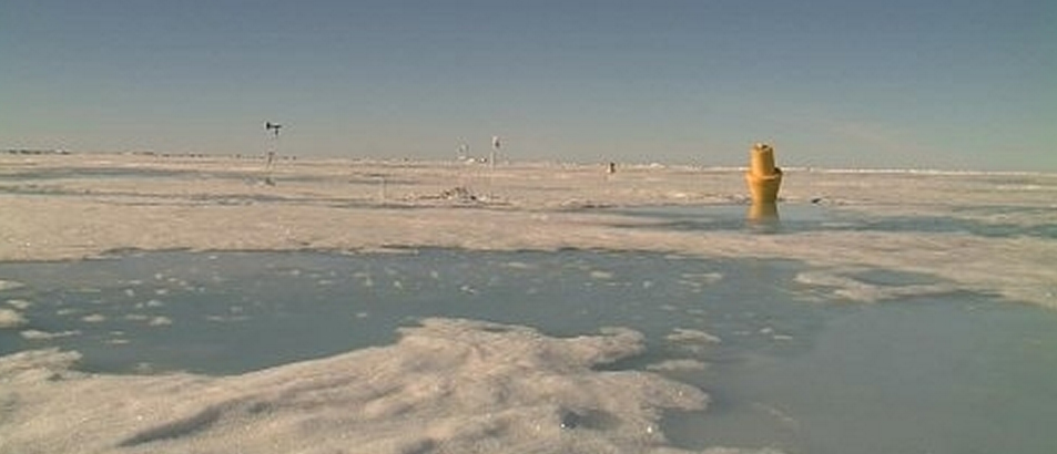
What’s interesting with the advent of global warming is all the unexpected changes in the climate. The most widespread belief was that the climates would migrate- Southern California would feel more like Baja and north of us- like Seattle, would feel like San Diego today. But the unexpected changes are what’s throwing us for a loop. Like changes in summer Arctic wind patterns contributed not only to an unprecedented loss of Arctic sea ice, but is also bringing about shifts in North American and European weather, according to a new NOAA-led study.
A research team led by James Overland, Ph.D., of NOAA’s Pacific Marine Environmental Laboratory in Seattle, Wash., examined the wind patterns in the subarctic in the early summer between 2007 and 2012 as compared to the average for 1981 to 2010. They discovered that the previously normal west-to-east flowing upper-level winds have been replaced by a more north-south undulating, or wave-like pattern. This new wind pattern transports warmer air into the Arctic and pushes Arctic air farther south, and may influence the likelihood of persistent weather conditions in the mid-latitudes.
“Our research reveals a change in the summer Arctic wind pattern over the past six years. This shift demonstrates a physical connection between reduced Arctic sea ice in the summer, loss of Greenland ice, and potentially, weather in North American and Europe,” said Overland, a NOAA research oceanographer.
The shift provides additional evidence that changes in the Arctic are not only directly because of global warming, as shown by warmer air and sea temperatures, but are also part of an “Arctic amplification” through which multiple Arctic-specific physical processes interact to accelerate temperature change, ice variability, and ecological impacts.
The study, entitled “The Recent Shift in Early Summer Arctic Atmospheric Circulation,” was co-authored by scientists from Rutgers University in New Jersey, the University of Sheffield in the United Kingdom, and the Joint Institute for the Study of the Atmosphere and Ocean, a partnership of NOAA and the University of Washington. It can be found online.
Before 2007, typical summer winds at the Arctic surface were more variable but tended to flow from the west. Since then, the summer winds were found to blow more consistently from the south, through the Bering Strait, across the North Pole, and out toward the Atlantic Ocean relative to the mean pattern in previous decades. These winds transfer additional heat from the south toward the North Pole and push sea ice across the Arctic and out into the Atlantic Ocean, contributing to record losses of summer sea ice. The 2012 Arctic summer sea ice minimum far surpassed 2007 as the lowest on record.
“Higher pressure over the North American continent and Greenland is driving these changes in the early summer wind patterns,” said Edward Hanna, Ph.D, of the University of Sheffield.
These shifts in winds not only affect weather patterns throughout the Arctic but are also thought to influence weather in Greenland, the United States, and western Europe. Understanding such links is an ongoing area of research, the scientists said. The effects of Arctic amplification will increase as more summer ice retreats over coming decades. Enhanced warming of the Arctic affects the jet stream by slowing its west-to-east winds and by promoting larger north-south meanders in the flow. Predicting those meanders and where the weather associated with them will be located in any given year, however, remains a challenge.
The researchers say that with more solar energy going into the Arctic Ocean because of lost ice, there is reason to expect more extreme weather events, such as heavy snowfall, heat waves, and flooding in North America and Europe but these will vary in location, intensity, and timescales.
“What we're seeing is stark evidence that the gradual temperature increase is not the important story related to climate change; it's the rapid regional changes and increased frequency of extreme weather that global warming is causing. As the Arctic warms at twice the global rate, we expect an increased probability of extreme weather events across the temperate latitudes of the northern hemisphere, where billions of people live,” said Jennifer Francis, Ph.D, of Rutgers.
BEST OF THE BLOG:

The boys are back in Europe and the world tour is finally heating up. Parko's in 1st (is he going to win his first world title finally?!) and Kelly, John John, Taj, and Mick are nipping at his heels. Check out the Portugal warm up sessions and the epic barrel fest between Kelly and Taj at last year's comp. And of course a mid-week Surf Check and an in depth THE Surf Report - all of that and more in the blog below!
PIC OF THE WEEK:

Man is Tasmania good. Heaps of empty surf, land that looked like California 70 years ago, and with wetsuit technology nowadays, 50 degree water feels like 70. How come this line-up isn't more crowded? Must be the Tasmanian Devils on land. Wouldn't stop me from paddling out.
Keep Surfing,
Michael W. Glenn
Dashing
Whittler
Noll's Wingman at Makaha